
Imminent cold snap will be a ‘shock to the system’
Written by News on 23/02/2018
Meteorologically speaking we are less than one week away from the start of spring, but despite recent mild conditions the weather is set to turn cold again and it could last into next month.
It is all due to the change in wind direction from high pressure that is currently centred over northern Britain, slowly moving north-eastwards towards Scandinavia.
As a result, easterly winds will develop, spreading cold air from western Russia towards the UK. Temperatures there are as low as -23C (-9F).
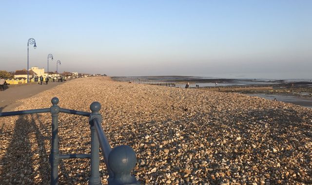
Temperatures are not expected to fall that low in the UK and Ireland, but they will drop close to freezing during the day and well below that overnight, when there will be sharp widespread frosts and the risk of ice.
:: UK weather: The latest Sky News forecast
In fact it is likely to be the coldest spell – and possibly the longest – since the start of this winter, as the cold easterly winds are likely to persist.
They will also strengthen, bringing a significant wind chill, so it will feel colder than the temperatures suggest.
Most places are likely to remain dry, but snow showers are expected, which may lead to disruption to travel for the start of the week.
Exact locations for the snow and how much will accumulate is still a little uncertain at this stage, but early warnings have been issued by the Met Office for Monday and Tuesday.
On Monday, the southeast of England has a yellow warning as later in the day snow showers may accumulate there.
There is a wider yellow warning for snow across most of the east of the UK on Tuesday.
Up to 10cm of the white stuff is possible on both days, even down to low levels, but some areas may only have a couple of centimetres or even nothing at all.
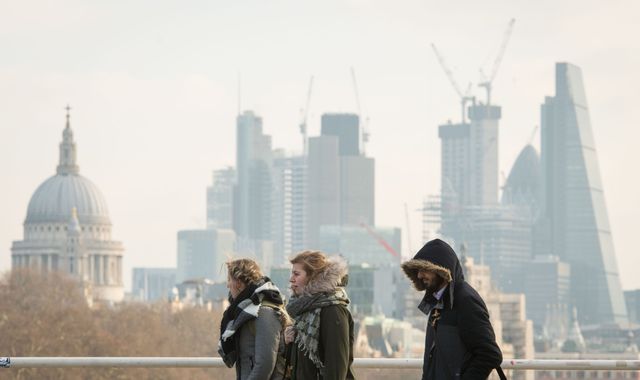
The bitterly cold conditions will be a shock to the system for many, especially as the start of this week was mild, with temperatures reaching 14.2C (57.6F) in Cardiff – the highest temperature of the month.
However, there have been indications of this happening in the long-range forecast since late January and more recently we have also seen a big jump in temperatures in the stratosphere, at around 30km above the North Pole.
This is known as “sudden stratospheric warming”, which is a breakdown of the usual high-altitude westerly winds. More often than not this leads to a change in wind direction to cold easterlies for the UK.
(c) Sky News 2018: Imminent cold snap will be a ‘shock to the system’